|
|
|
|
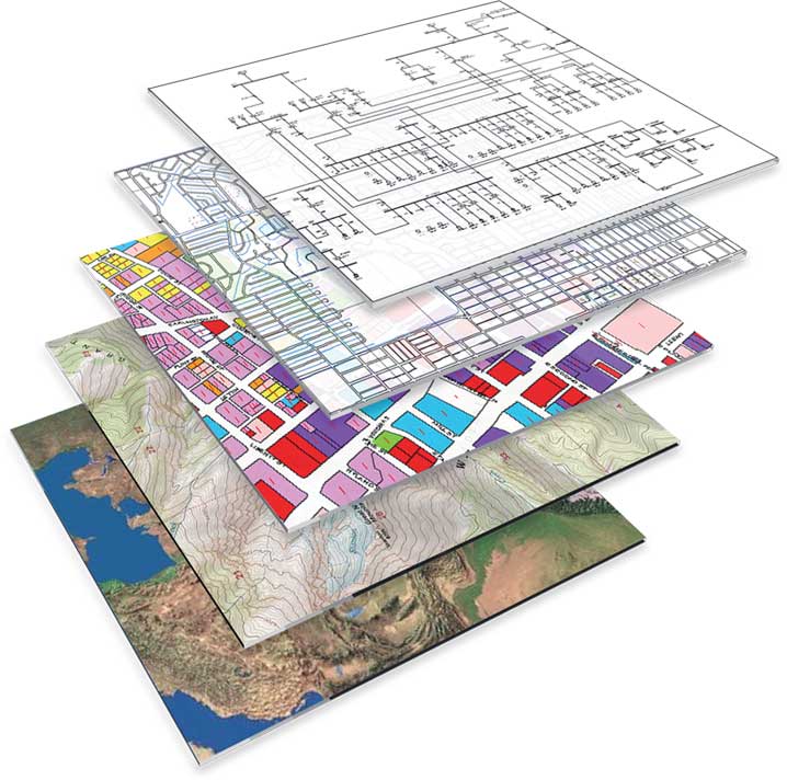
Geographic Information System (GIS) is designed to capture, store, manipulate, analyze, manage, and present all types of geographical data. GIS is one of the leading tools used to identify and assess potential renewable energy sites and is used to help inform site design. GIS offers significant benefits over traditional methods, as rapid searches of large areas can be undertaken using datasets that are being continuously updated. Environmental Alliance BD Limited provides a comprehensive array of GIS and mapping services to support projects at all stages of development and operation. Environmental Alliance BD Ltd. team is able to develop bespoke solutions to provide accurate mapping and informative graphics. |


